Propeller Aerobotics Pty Ltd // 3360 Walnut St, Denver CO 80205
Accuracy of Stockpile Measurement Using Different Capture Methods
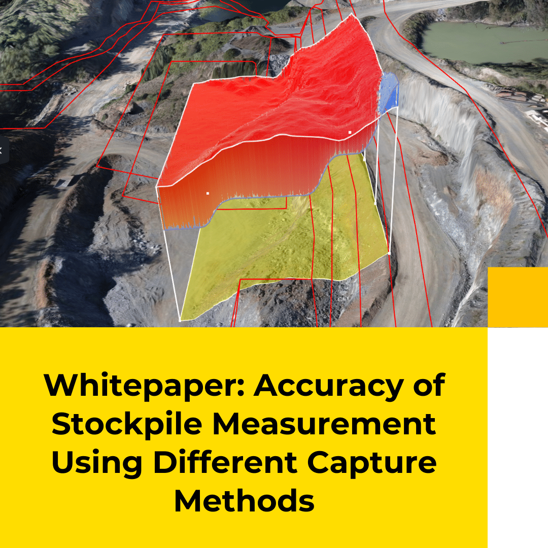
Accurate stockpile measurements are key to ensuring you understand your material quantities. Recently, drone photogrammetry has become more useful, with proven accuracy in measuring earthworks sites and material stockpiles.
This whitepaper begins by assessing various photogrammetry capture methods that can be used to survey stockpiles with two different drones. Then it analyzes the accuracy that earthworks professionals can expect by using each of the drones, and compares ease of use and overall financial cost.
Get the Whitepaper
Get the Whitepaper
How accurate are your stockpile measurements?
How accurate are your stockpile measurements?
Having accurate material measurements ensures your end-of-month reconciliations are correct, and you can forecast your upcoming customer demands. In this whitepaper, we review the accuracy of using the consumer-grade DJI Mavic 2 Pro drone compared with the industry-accepted aerial surveying drone, the DJI Phantom 4 RTK.
Specifically, we look at:
- Data capture and processing methods
- Validating dataset accuracy
- Stockpile volumes and comparison
- A discussion of the results