Propeller Aerobotics Pty Ltd // 3360 Walnut St, Denver CO 80205
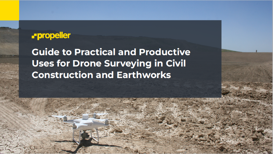
Guide: Practical & Productive Uses for Drone Surveying in Construction and Earthworks
Digitization in the construction and earthworks industry has steadily increased each year, with companies embracing drone surveying technology to help build greater productivity and efficiency on their worksites. Many earthworks contractors have already adopted this innovative approach to tracking their site progress. They can rapidly obtain a visual overview of their entire worksite that’s processed in a digital platform where the data is easily and quickly accessible to all project stakeholders.
Get Your Guide:
Get Your Guide:
Are you ready to take the step with drone surveying?

Are you ready to take the step with drone surveying?
Unlike traditional topographic survey data, drone surveys now provide an orthophoto, contour map, digital terrain model, and dense point cloud, resulting in a highly visual dataset that’s ready for your team’s analysis. Today, drone surveying is just as accurate as traditional methods, but far quicker and more cost-effective.
In this guide, we’ll cover:
- What you need to do before setting up your drone program
- A wide array of compelling use cases for drones in earthworks and construction … some of which may surprise you!
- Real-world Propeller customer examples that demonstrate how these companies have adopted and used drone surveying to enhance their businesses
- Helpful resources to assist you with next steps and expand your drone surveying knowledge even further!