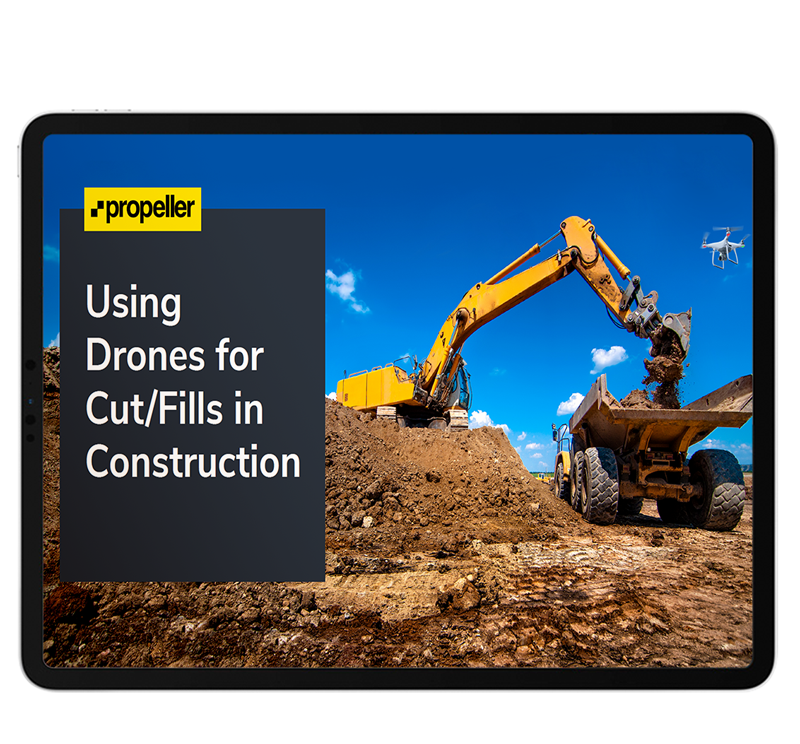
Using Drones for Cut/Fills in Construction

How to make sure you never move the same dirt twice

Fill in the form to get your eBook

Cut-and-fill-eBook-for-Construction

Stop small errors on site snowballing into big losses!

Using drones to plan earthwork projects and monitor worksite progress is becoming easier and more cost-efficient every day.

In this FREE eBook, we’ll explain everything you need to know about creating actionable cut/fill maps from aerial surveys. Learn how construction sites are using drone data to revolutionize their worksites and streamline operations.

Download this eBook to learn about:

  • The benefits more frequent site surveys offer
  • Traditional and drone-based cut/fill methods
  • Different applications for cut/fill maps on construction sites
  • Cut/fill analysis with drone data visualization software

Want to learn more about drone technology?

View all guides & eBooks